About the Journal
Journal of Geomatics Engineering, Technology, and Science is a peer-reviewed, open-access journal published biannually in March and September by the Geomatics Technology Study Program, Department of Engineering and Computers, Politeknik Pertanian Negeri Samarinda, in collaboration with Ikatan Surveyor Indonesia (ISI) / Indonesian Surveyors Association under Cooperation Agreement No. 811/DST/PL21/KS/2026 and No. 017/VIII/ISI-Kaltim/2026.
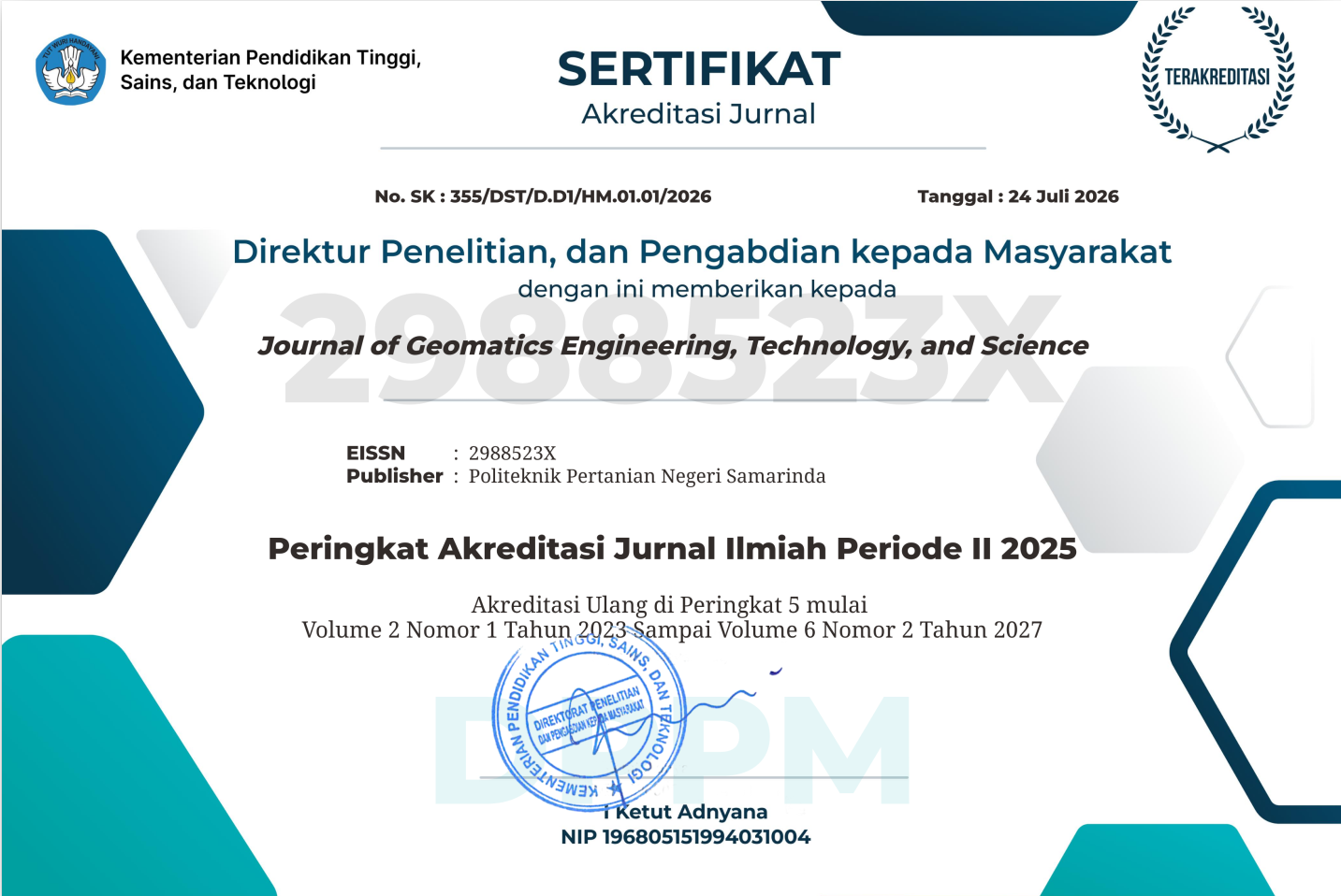
Journal of Geomatics Engineering, Technology, and Science has been nationally accredited at SINTA 5 (Science and Technology Index) based on the Decree of the Director General of Science and Technology, Ministry of Higher Education, Science, and Technology of the Republic of Indonesia (Keputusan Direktur Jenderal Sains dan Teknologi, Kementerian Pendidikan Tinggi, Sains, dan Teknologi Republik Indonesia) No. 355/DST/D.D1/HM.01.01/2026 concerning the New Accreditation Ranking of Scientific Journals, Period 3 of 2026 (Tentang Peringkat Akreditasi Baru Jurnal Ilmiah Periode 3 Tahun 2026).
The journal provides a platform for scientists, academicians, professionals, and students to promote, share, and discuss various issues and developments in the field of geomatics. Journal of Geomatics Engineering, Technology, and Science accepts manuscripts from authors of universities, research institutions, government agencies, and private institutions in Indonesia and abroad. All manuscripts must be prepared in either English or Indonesian and are subject to a double-blind peer-review process.
P-ISSN: 2830-1811 | E-ISSN: 2988-523X | DOI: 10.51967/gets
The scope of the journal covers the following areas:
- Surveying and Mapping: terrestrial, cadastral, topographic, and engineering surveys; digital mapping and map production.
- Positioning and Navigation: GNSS/GPS positioning, geodetic reference frames, and location-based services.
- Photogrammetry and Remote Sensing: aerial and satellite image acquisition and processing, UAV/drone photogrammetry, LiDAR, and image classification.
- Geographic Information Systems (GIS): spatial databases, spatial analysis and modelling, WebGIS, and geospatial artificial intelligence.
- Hydrographic Surveying: bathymetric mapping, coastal and river surveys, and marine geospatial information.
- Applied Geomatics: geospatial applications for land administration, natural resources, agriculture and forestry, regional and urban planning, disaster management, and environmental monitoring.
Manuscripts in application domains (e.g., planning, natural resources, disaster management, civil and environmental engineering) are welcome only when geospatial data acquisition, processing, or analysis constitutes the core methodology of the study.
Current Issue
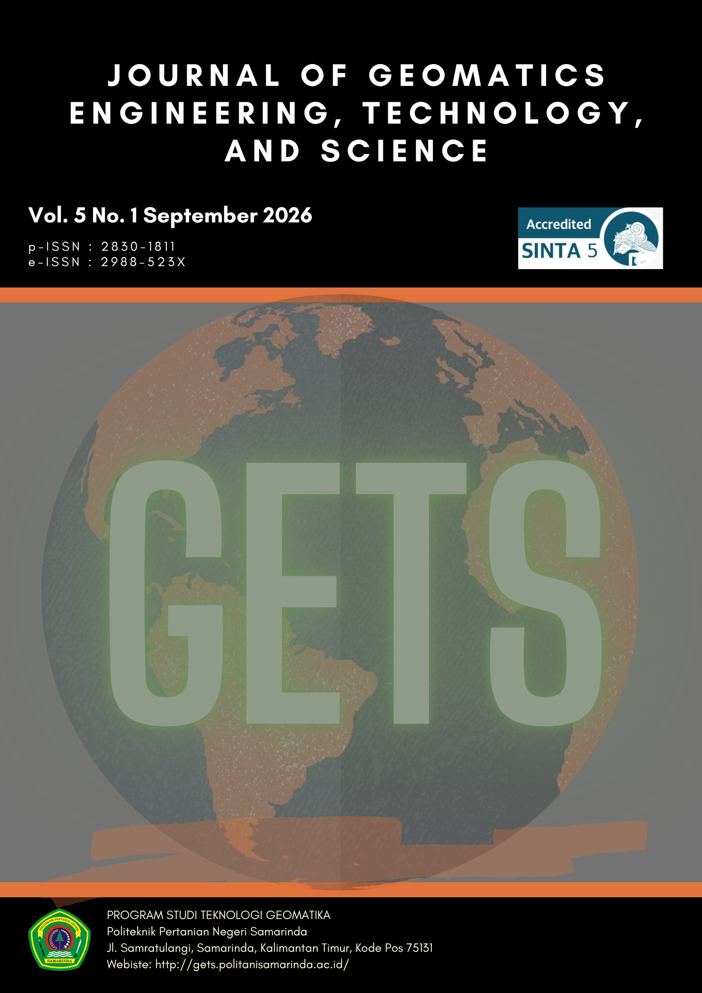
Vol. 5 No. 1 (2026): September 2026
Journal of Geomatics Engineering, Technology, and Science Indexed By:





Citation Tools:



Publisher:


Geomatics Technology Study Program
Department of Engineering and Computers
Politeknik Pertanian Negeri Samarinda
in collaboration with
Indonesian Surveyors Association/Ikatan Surveyor Indonesia (ISI)
Komisariat Wilayah Kalimantan Timur